Let it be Land!
... and anything that isn't Land is Sea.
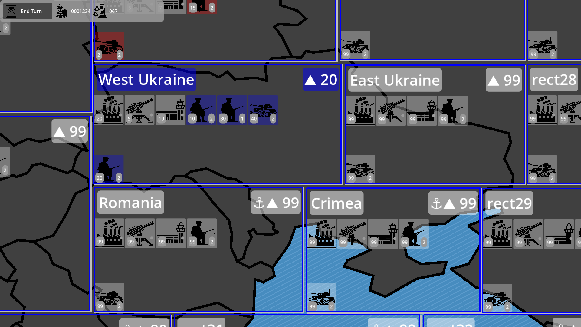
While determining if the zone is covered with land or water looks like a trivial task, it, actually, isn't. Land(every country or island) is just an array of coordinate sets that form a polygon. Game zones are just rectangles with coordinates and sizes. And the task is to detect how fully this or that zone is intersected with countries-islands-polygons. The first idea was just to render the scene and count the colour of the pixels. While that would do the job, it would be an incredibly ugly code. I managed to keep this in the geometry scale.
Why do I even need this? It isn't just to determine if you can build ships in the middle of the African desert. This is the first step in making the big path-graph to help units move. Obviously, ships and tanks need different surfaces. Still, there is much work to do...
Get reWinWar
reWinWar
A simple wargame heavily influenced by Silicon Commander Games' WinWar II
| Status | In development |
| Author | reWinWar |
| Genre | Strategy |
| Tags | Turn-based Strategy, World War II |
More posts
- The world is ready. Visually. Mostly. More or less15 days ago
- To build... buildings58 days ago
- The Main ButtonApr 08, 2025
- Water is importantApr 05, 2025
Leave a comment
Log in with itch.io to leave a comment.